BSA Drone Application for the Scouts
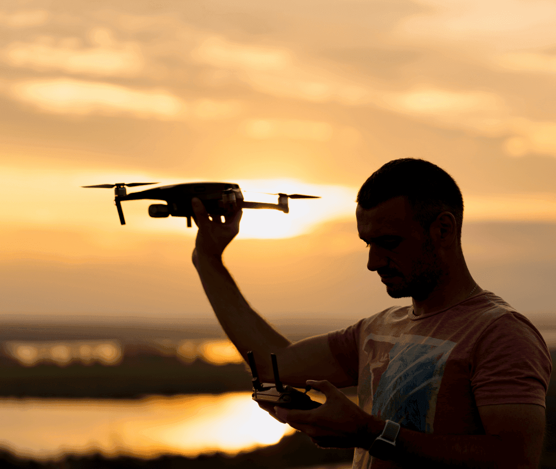
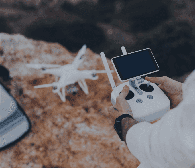
Developing reliable drone software solutions requires seamless connectivity, secure access, and accurate data visualization. The prototype connected with drones via Wi-Fi to capture flight parameters like altitude, heading, and axis rotations, displayed on a live map.
Process maturity
CMMI Level 5
Information security
ISO 27001
Industry experience
25+ years
Global clients served
600+
Project Scope & Challenges
The project aimed to enhance a half-built application into a robust drone software solution. The scope included enabling connectivity via Wi-Fi and providing a data visualization app to display real-time flight metrics such as altitude, axis rotations, and heading.
Integrating secure login/signup and verification flows without affecting existing features.
Extending and optimizing pre-built QT/QML and C++ code for enhanced functionality.
Ensuring real-time drone data visualization with smooth performance and usability.
Revamping UI/UX for intuitive monitoring while completing all updates within a 1-month timeline.
Mapelcode’s Solution
Mapelcode delivered a complete drone software solution by refining a half-built prototype into a secure and user-friendly application. The platform was engineered to support real-time drone monitoring, seamless connectivity, and IoT-driven data visualization for enhanced control and usability.
Secure Authentication
Implemented login and signup flows with verification to ensure safe access for users.
Drone Data Visualization
Enabled real-time display of altitude, axis rotations, and heading through an intuitive interface.
Custom Drone UI/UX
Introduced a clean and accessible QML-based drone UI design for better monitoring and control.
Rapid Delivery
Transformed a prototype into a functional drone control software within just one month.
Results & Achievements
Rapid Delivery
Production-ready drone app in 1 month.
Secure Access
Robust login, signup, and verification flows.
Real-Time Monitoring
Altitude, heading, and axis rotations.
Streamlined UI
Intuitive QML interface for better control.
IoT & AI Integration
Live drone connectivity and analytics.
Scalable & Cross-Platform
Reliable architecture for modern drone apps.
Rapid DeliveryProduction-ready drone app in 1 month.
Secure AccessRobust login, signup, and verification flows.
Real-Time MonitoringAltitude, heading, and axis rotations.
Streamlined UIIntuitive QML interface for better control.
IoT & AI IntegrationLive drone connectivity and analytics.
Scalable & Cross-PlatformReliable architecture for modern drone apps.
Drone Application Development for Next-Gen Solutions
Mapelcode specializes in drone software solutions, delivering robust applications that enhance drone navigation, data capture, and fleet management. From IoT app development to custom solutions, we craft intelligent systems for real-time monitoring, mapping, and control.
Our expertise includes data visualization apps, advanced connectivity via Wi-Fi, and features like altitude tracking, providing seamless control and actionable insights for users.
Ready to build a smarter drone ecosystem?
From the Mapelcode Engineering Lab
The intelligence layer behind how Mapelcode teams plan, engineer, test, release, and govern enterprise software.
Keep exploring.
Let's build something like this.
Share your challenge and we'll put together the right team, stack, and approach — just like we did for these clients.